
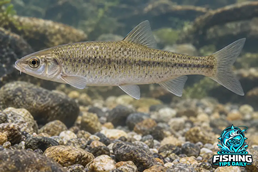
Distribution
The compiled range includes portions of the Ohio and Mississippi basins and the Ouachita drainage. Historical records also include the Thames system in southern Ontario. A historical range statement should not be read as proof that every locality still supports a population today.
Gravel Habitat
Adults occur in creeks and small to large rivers where gravel forms riffles and runs. The substrate is an important part of the account. A river’s overall size alone does not explain whether a particular reach offers this bottom habitat.
Length and Observation
The reference maximum is eleven centimeters total length. At that scale, a measured photograph retaining the head, body and fins supports better comparisons than an unscaled image. The drainage and precise riffle location are also valuable when documenting a regional minnow.
Keep Historical Records Labeled
A published locality can be historically important without establishing current occupancy. Preserve the observation date when mapping Gravel Chub distribution.
All Lakes With Gravel Chub
Browse lakes and reservoirs with documented Gravel Chub records, listed alphabetically. Records do not establish current abundance or public access. Check the evidence and managing authority for the water you choose.
No published lakes are currently linked to this species in our confirmed records.