
Atlantic Watersheds
Records extend from the Roanoke system in Virginia toward the Savannah drainage in the southeastern United States. These neighboring systems remain separate watersheds. A location should therefore retain its river name rather than using a broad coastal-state label alone.
Pools and Runs
Both pools and flowing runs occur in the habitat account. Sand and rock provide different bottom conditions within those stream reaches. Recording current, substrate and the actual position of a fish produces a more useful observation than applying one habitat term to the entire creek.
Small-Fish Measurements
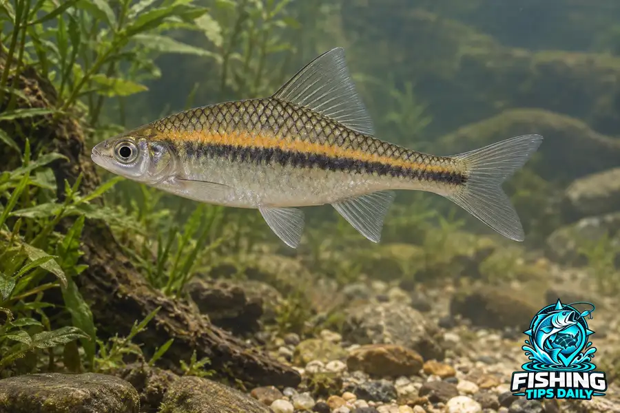
The maximum reference is 6.1 centimeters total length, including the tail fin. Small size alone does not distinguish this species from other shiners. A clear side photograph should show the head, body pattern and extended fins whenever those details can be observed.
Preserve the Fin Outline
A side photograph with fins visible provides more identification information than a distant image of a school of small silvery fish.
All Lakes With Highfin Shiner
Browse lakes and reservoirs with documented Highfin Shiner records, listed alphabetically. Records do not establish current abundance or public access. Check the evidence and managing authority for the water you choose.
No published lakes are currently linked to this species in our confirmed records.